Big Sur Coast Drive
Fifty miles where the mountains meet the sea
⏱ Full day👤 All ages$
Get Tickets
Get Big Sur Tickets
Skip the line · mobile tickets accepted at the door
Highway 1 south of Carmel is the stretch that made the Pacific Coast Highway a pilgrimage: fifty-plus miles of two-lane blacktop grafted onto the Santa Lucia Range's seaward cliffs in 1937, where the mountains drop three thousand feet into surf and every turnout re-frames the argument that this is the world's finest meeting of road and coast. From a Monterey or Carmel base, the day-trip format is south-to-McWay-and-back — about 40 miles each way, three hours of driving wrapped around a day of stops.
The canonical sequence southbound: Garrapata State Park's unmarked bluff trails and calla lily valley (spring); Bixby Creek Bridge at mile 13 — the 1932 open-spandrel arch, 260 feet above the creek; park at the north-side turnout early, the lot game gets feral by ten; Point Sur State Historic Park's volcanic rock and lightstation (weekend tours); Andrew Molera's river-mouth trails; Pfeiffer Big Sur State Park for the redwood interlude (Pfeiffer Falls, the Big Sur River gorge); the unsigned Sycamore Canyon Road down to Pfeiffer Beach — purple-garnet sand and the keyhole arch that catches December's sunset through it; Nepenthe's terrace at 800 feet (the Ambrosia burger is the toll); the Henry Miller Memorial Library's redwood bohemia; and the finale at Julia Pfeiffer Burns: the short Overlook Trail to McWay Falls, the 80-foot tidefall onto a cove no one may enter — which is why it still looks like that.
The realities that keep it wonderful: no gas between Rio Road and the Big Sur village pumps (fill up in Carmel; the village charges accordingly); cell service dies for most of the run (download maps); fog loves summer mornings (midday often clears it) while fall runs clearest; condors genuinely patrol between Bixby and the village — the nine-foot wingspan is not a vulture; and the road itself is the famous caveat — winter slides close segments south of McWay regularly, so check Caltrans District 5 before any trip. The drive demands nothing technical, only patience with the turnout etiquette: let locals pass, brake for views in pullouts not lanes, and leave the day unscheduled behind it. It will fill itself.
What to Expect
Format
A full-day Highway 1 run from Carmel to McWay Falls and back — Bixby Bridge, Point Sur, Pfeiffer Beach's keyhole arch, redwood state parks, Nepenthe's terrace, and the 80-foot tidefall, with condors over the ridgelines.
Best Time
Fall for the clearest coast; spring for green hills and callas. Start by 8:30am for Bixby parking and fog-beating; December's keyhole-arch sunset is the photographers' holiday.
Duration
A full day — 40 miles each way driven slowly, stopped often.
Tips
Fill the tank in Carmel and download offline maps; service dies south of Point Sur. Check Caltrans for Highway 1 status before committing — winter slides close segments. Bixby by 9am or admire from the moving car. Pfeiffer Beach's turn is unsigned (Sycamore Canyon Rd); day-use fee cash-friendly. Nepenthe at 3pm beats the lunch rush.
⚡ Quick Picks
Best For
The trip's epic day — if the peninsula is the appetizer, this is the entree.
Families
Kids rate Pfeiffer Beach's purple sand and the river wade at Pfeiffer Big Sur over the viewpoints — build around those.
Couples
Bixby at golden hour northbound, after a Nepenthe sunset — the coast's definitive romance.
Pair With
Point Lobos as the warm-up act at the drive's start, or Carmel dinner on the return.
Time Needed
One full, unscheduled day.
Ready to book Big Sur?
Get Tickets →Frequently Asked Questions
How far should we drive on a day trip?
McWay Falls (Julia Pfeiffer Burns, ~40 miles south) is the classic turnaround — the icons all sit before it, and the return drive north runs golden in late light.
Is the road open?
Usually to McWay, but Big Sur's slides close segments regularly, especially south of there in winter — check Caltrans District 5's Highway 1 status before the trip, always.
Can you walk to McWay Falls?
To the overlook, yes — a short trail with the full postcard view. The cove itself is closed to entry, which is precisely why it still looks untouched.
Where's Pfeiffer Beach?
Down unsigned Sycamore Canyon Road (the only paved right between the post office and the state park entrance) — narrow, two miles, day-use fee. Purple sand streaks and the keyhole arch reward it.
Will we see condors?
Plausibly — the recovered flock patrols between Bixby and the village. If the "vulture" has a nine-foot span and numbered wing tags, you've just seen one of the rarest birds on earth.
More Monterey Attractions
Browse all →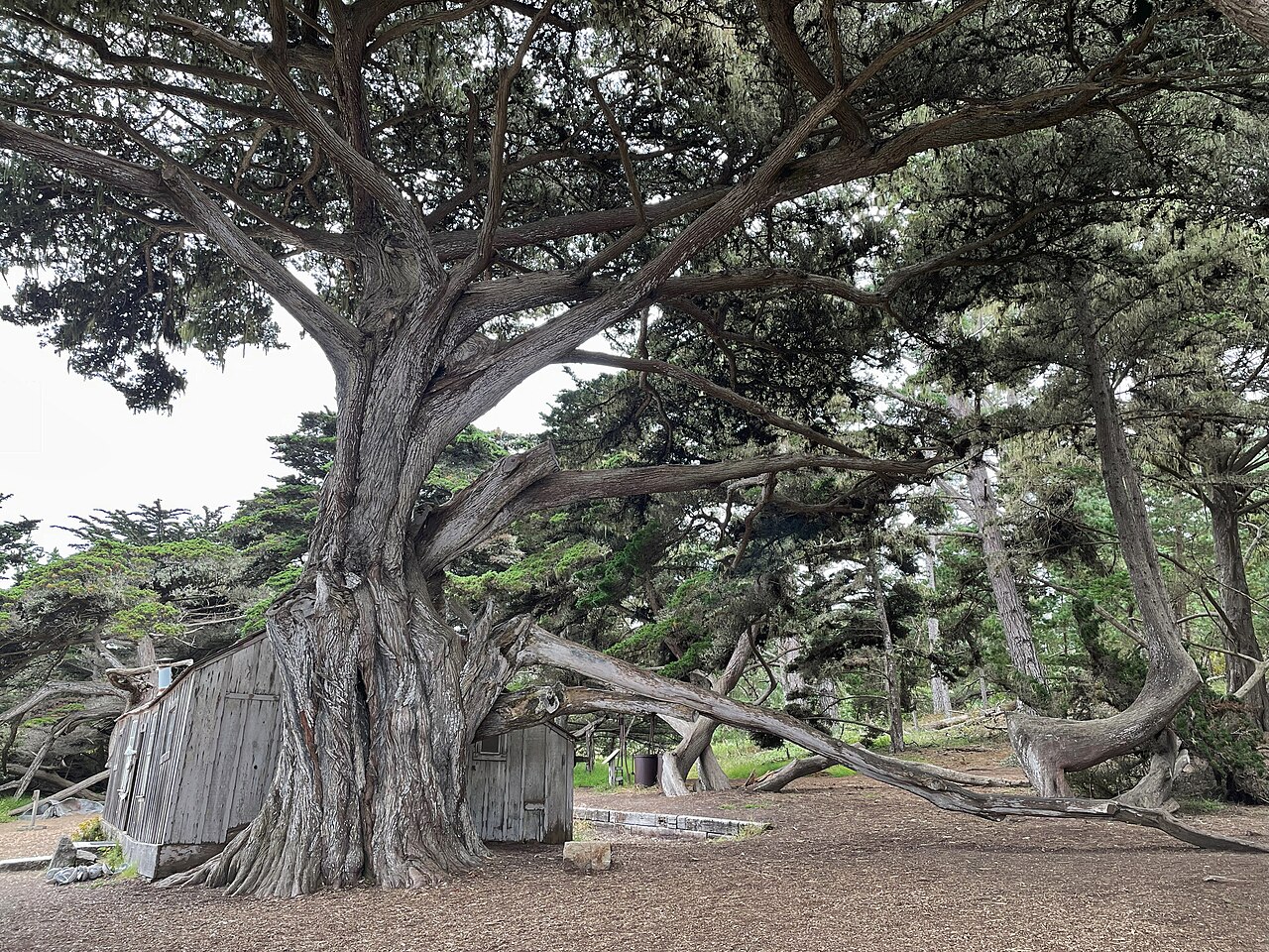
Point Lobos State Natural Reserve
"The greatest meeting of land and water in the world" — painters' coves of jade water and wind-carved cypress just south of Carmel, with sea lions on the rocks, otters in the kelp, and trails that fit any legs.
Carmel-by-the-Sea
The storybook village — one square mile of fairy-tale cottages, hidden courtyard galleries and wine rooms, no street addresses, dogs welcomed everywhere, and a white-sand beach under cypress at the foot of Ocean Avenue.
Carmel Mission Basilica
The most beautiful of California's 21 missions — the 1797 stone basilica with its Moorish tower and star window, bougainvillea courtyards, five museum rooms, and the tomb of Junipero Serra before its altar.